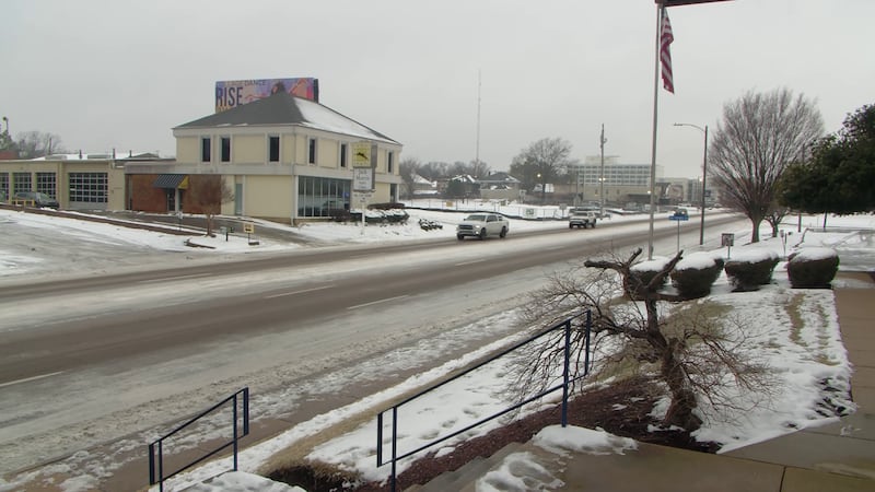
First Alert Forecast: slushy roads, black ice concerns; frigid & blustery Friday, Saturday
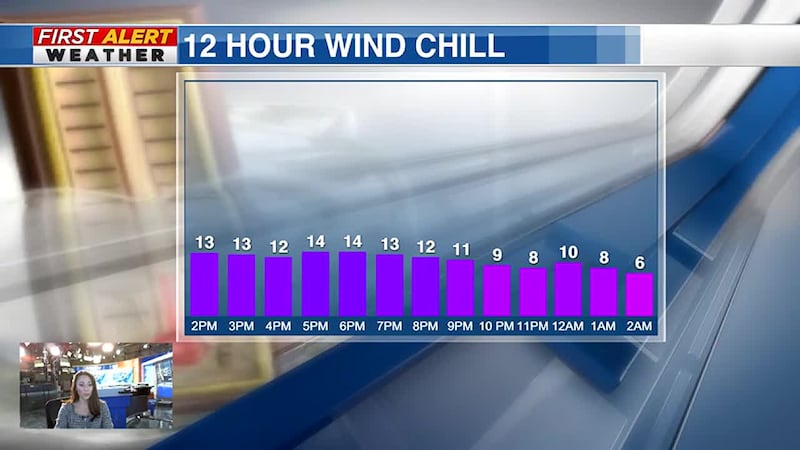
FRIDAY: After a bout of freezing fog earlier – sunshine breaks back out through the morning hours. Expect highs in the middle to upper 20s. Wind chills through the day will hold in the single digits to lower 10s with gusty northwest winds to 20-30 mph. Skies turning clear – dropping into the upper single digits to lower 10s by Saturday morning – feeling closer to 0 by daybreak.
WEEKEND PLANNER: Near 0 wind chills will be the kick off to your Arctic-blasted weekend. Sunshine will only do so much – pushing highs in the lower 20s by afternoon. We’ll stay cold, falling to the upper single digits to lower 10s by early Sunday. A rebound toward the lower and middle 30s will finally break our stretch of below freezing temperatures amid a mix of sun and clouds. We’ll drop into the 20s by early Monday ahead of our next weather maker.
EXTENDED PLANNER: Milder and moisture-laden air will continue to invade the region through much of the upcoming week. Thankfully, the deep freeze finally comes to an end, but now – the rain train begins. Rain chances increase by late afternoon Monday and continue – on and off through the rest of the week. Expect temperatures to slowly creep upward through the 50s to near 60 by Thursday. An isolated storm may mix in Thursday.
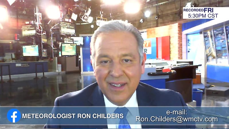
Patrick Ellis
Action News 5 First Alert Meteorologist
Facebook, Twitter, Instagram: @PatrickEllisWx
Click here to sign up for our newsletter!
Click here to report a spelling or grammar error. Please include the headline.
Copyright 2024 WMC. All rights reserved.