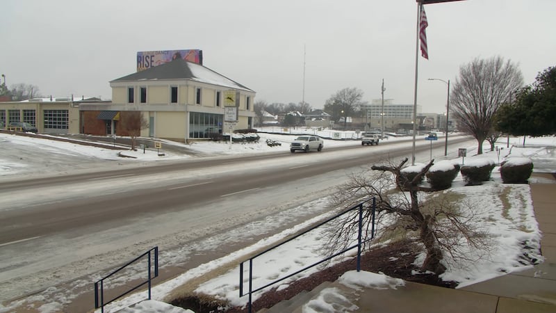
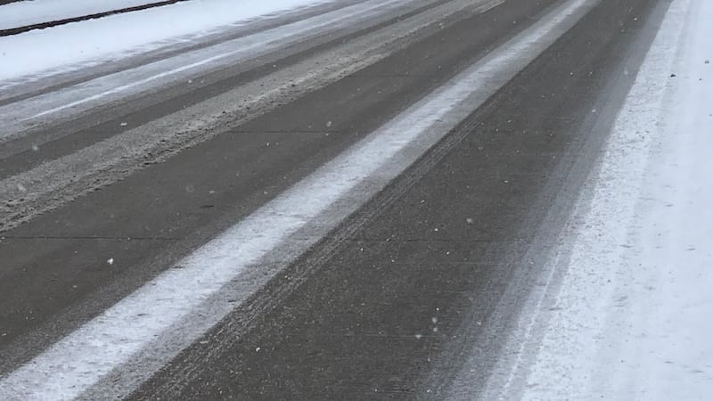
Freezing rain moves, but more bitter cold moves in along with FREEZING FOG
MEMPHIS, Tenn. (WMC) - Another round of cold arctic air is moving into the Mid-South tonight and will remain for the end of the week and start to the weekend. Freezing fog is also developing tonight prompting the National Weather Service to issue a FREEZING FOG ADVISORY for the entire Action News 5 coverage area until 9 AM Friday morning. This will make driving treacherous overnight with reduced visibility along with the potential of an icy glazing on bridges and overpasses overnight through the early morning Friday.
TONIGHT: Partly Cloudy and foggy with a light Northwest wind and overnight lows in the low to mid 20s.
FRIDAY: Partly Cloudy and cold with a brisk North wind at 10 to 20 MPH and afternoon highs only in the upper 20s.
FRIDAY NIGHT: Mostly Cloudy and bitterly cold with a North wind at 5 to 10 MPH and overnight lows in the lower teens along with wind chills in the single digits to near zero.
THE WEEKEND: Saturday will be mostly sunny and cold with high temperatures in the lower 20s and overnight lows again in the lower teens. Sunday will be partly cloudy with highs in the mid 30s and overnight lows in the mid to upper 20s.
NEXT WEEK: Monday will be mostly cloudy with a slight chance of a shower along with afternoon highs in the mid to upper 40s and overnight lows near 40. Tuesday will be cloudy with scattered showers, highs in the mid 50s, and lows in the upper 40s. Wednesday will be cloudy with rain and a few thunderstorms along with high temperatures in the upper 50s and overnight lows near 50. Thursday will be cloudy with rain and thunderstorms and high temperatures near 60.
Ron Childers
Chief Meteorologist
ACTION NEWS 5
Click here to sign up for our newsletter!
Click here to report a spelling or grammar error. Please include the headline.
Copyright 2024 WMC. All rights reserved.