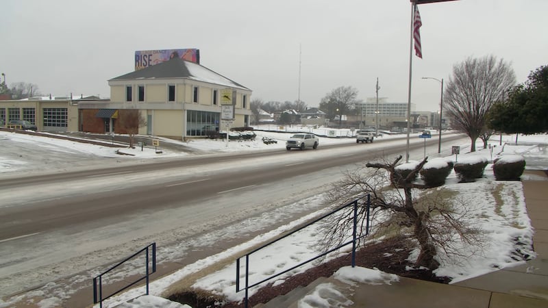
Thursday is a FIRST ALERT WEATHER DAY: Freezing rain and more bitter cold on the way
MEMPHIS, Tenn. (WMC) - Another winter storm system will move into the Mid-South Thursday bringing freezing rain to much if not all of the Mid-South. Accumulation of a glazing to a tenth of an inch will be possible during the day tomorrow. A WINTER WEATHER ADVISORY will go into effect at 6AM for the ENTIRE Action News 5 coverage area and remain until 7PM. The main impact from this system will be the potential for hazardous travel through the day and into the evening and overnight hour. Another round of extreme cold will set in Thursday night and remain into the beginning of the weekend.
TONIGHT: Increasing Clouds with a South wind at 5 to 10 MPH and overnight lows in the upper teens to near 20 with wind chills in the single digits to mid teens.
THURSDAY: Cloudy with freezing rain along with a South wind at 5 to 10 MPH and high temperatures near 32 degrees.
THURSDAY NIGHT: Clearing and Cold with a breezy Northwest wind at 10 to 15 MPH and overnight lows in the lower 20s.
FRIDAY: Mostly Sunny and COLD with high temperatures in the upper 20s and overnight lows near 10 degrees.
THE WEEKEND: Saturday will be mostly sunny and cold with highs in the lower 20s and overnight lows again near 10. Sunday will be partly cloudy with afternoon highs in the mid 30s and overnight lows in the mid 20s.
NEXT WEEK: Monday will be mostly cloudy with a slight chance of a stray shower along with high temperatures in the mid 40s and overnight lows in the mid 30s. Tuesday will be cloudy with showers, high temperatures in the lower 50s, and overnight lows in the upper 40s. Wednesday will be cloudy with a chance of rain and highs in the upper 50s.
Ron Childers
Chief Meteorologist
ACTION NEWS 5
Click here to sign up for our newsletter!
Click here to report a spelling or grammar error. Please include the headline.
Copyright 2024 WMC. All rights reserved.